Apple Maps Vans
Yesterday, I was chatting with a coworker about an Apple Maps Van he saw driving around town. Interestingly, I also spotted a similar van while riding my bike home from work a few days earlier, and I had attempted to sneakily take a blurry photo of the vehicle. My coworker and I shared stories and guessed at the type of sensor technology that was mounted on the vehicle, while speculating what Apple’s actual purpose might be for driving this vehicle around the Denver metro area.
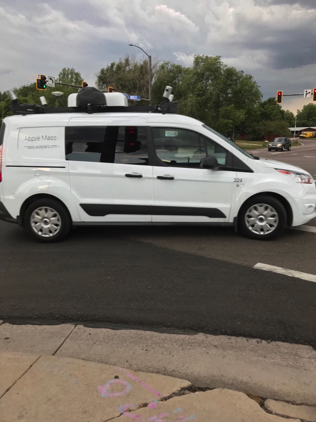
After a while, my curiosity got the best of me and I did a quick internet search that turned up this article from Cult of Mac. Judging from the date on the article, this is somewhat old news. It appears that the vans have been out there driving our streets for at least two years. However, the article does identify some of the primary technology mounted on the van, including a Wheel Encoder, LIDAR sensors, 360-degree cameras, and a GPS.
The LIDAR (LIght Detection And Ranging) technology is really cool, since it uses laser beams to form “point clouds” that result in a super-accurate 3D model of the road and area around the vehicle. I’ve seen some interesting examples of LIDAR application in the GIS sphere (thanks to demos at the annual ESRI User Conference) and it’s really exciting to imagine the possibilities of this data. Of course, the folks at Cult of Mac speculate that the LIDAR is really intended to support the autonomous vehicles that Apple might be working on, but it could be that they’re just trying to bolster their first-party maps data.
In any case, this article was fun to geek out over, especially since I had seen one of these vans out in the wild, but primarily because it’s fun to learn about new and interesting technology.